Trekking the Timberline Trail in 2 Days
By Shelby Spears
I read this quote a few days before heading out on a most epic, challenging and fun adventure around Mt. Hood. I was extremely nervous leading up to the fast packing journey around the mountain with Jonathan, Sara and her finacee Andy (whose 30th birthday was the impetus for this wild excursion). Our goal was to do the over 40 miles around the mountain in just two days. Most people take three or four.
This quote stuck with me leading up to and during our adventure. It reminded me that, yes, I might be terrified the entire time as we scrambled up steep rock slides and jumped over raging rivers, but it would all be worth it.
Often times facing our fears and getting outside our comfort zones yield the most rewarding experiences. If you have butterflies in your stomach, it probably means you're about to do something worthwhile. And this was.
But the journey is best told through the amazing photographs. They still don't do the beauty of the mountain justice, but we'll try.
We started our trek around Timberline at the Cloud Cap Trailhead on Saturday, June 2. This part of the trail has been washed out but is crossable from the Eliot Creek basin. We started on the left side of the photo and climbed down and then up the other side to the top of the ridge.
We journeyed counter clockwise so we could traverse the difficult Eliot Creek Crossing first.
You can barely see Eliot Creek in the background because of how high up we were.
Heading down to the Eliot Creek crossing where you have to maneuver a steep rock slide. One false step sends you sliding down with big boulders. Jonathan found this out first hand.
After jumping across the rushing Eliot Creek we headed up another rock slide where a random rope is placed to help you to the top. We trusted in that rope... If you zoom in you can see Sara- she's about halfway to the top. You scramble some more after the rope.
Photo by Sara Holden
Get up as fast as possible and don't look down. Never look down. You can see the rushing Eliot Creek we had to cross a little better in this photo.
From left to right: Mount St. Helens, Mt. Rainier (behind the clouds) and Mt. Adams.
Mt. Rainier came out from behind the clouds.
We found ourselves scrambling a lot trying to find the trail after Eilot Creek and other river crossings.
One of the most difficult parts of the Timberline Trail is the many river and creek crossings. With slippery rocks and the areas safe to cross changing by the hour, it can be precarious. Jonathan bashed his knee landing on a rock after jumping across Eliot Creek.
We hit this section of dead trees after stopping at a creek to fill up with water. It was a really surreal and relaxing section after struggling to find the trail for hours after Eliot Creek.
This unique angle gives you an idea of the Dr. Seuss-esque nature of this part of the trail.
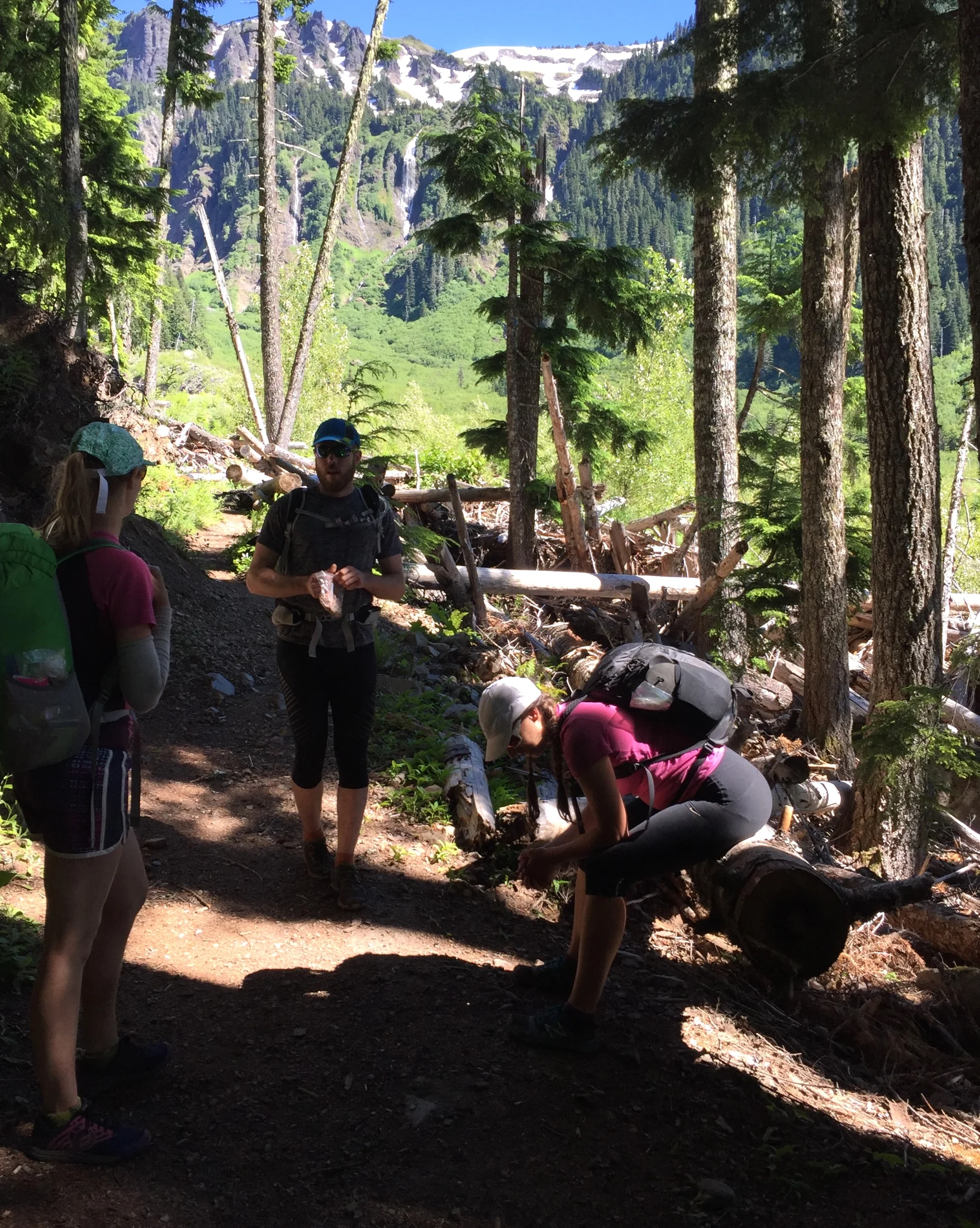
We stopped in the shade to have a snack and look at the waterfall in the distance before fording another creek.
Gorgeous views of the waterfalls just after McNeil Point.
We were elated to see Ramona Falls at the end of day 1, for multiple reasons. We camped in this magical place and it was the first hike Jonathan and I took when we moved to Portland. A great way to celebrate the weekend of 10 years together.
We camped near the falls but away from the crowds.
Hiking up from Ramona Falls after crossing/fording the Sandy River, we journeyed up toward Timberline Lodge.
Taking in the view as we journeyed for 11 miles, from 3,300 feet of elevation at Ramona Falls to 6,000 feet at Timberline Lodge.
After crossing the Zig Zag River and climbing 700 feet in 1.5 miles we got a view of it from above.
Hiking fromTimberline and down to ford the White River was exposed, sandy and brutal. We moved fast through that section that descended 800 feet from Timberline before regaining 600 feet to get to these lush meadows.
If pressed to pick a favorite spot on the trail it might very well be Mt. Hood Meadows. Reserved for skiing in the winter, it is absolutely breathtaking in the summer. Meadows, views of the mountain, babbling creeks and no exposure or river crossings made it a fun section we could actually run!
A very narrow and exposed trail takes you up to the high point of 7,300 feet. We were all really glad to be going up this instead of down.
He did such a great job taking photos we hardly have any of him! We all adopted Jonathan's mantra of "ALL DAY" as he motivated us to move along the trail in a way only Jonathan can. ALL. DAY.
We hit our high point of 7,300 feet at Lamberson Butte at 7 p.m. and we still had three BRUTAL miles to go.
The temperature dropped and winds picked up (hence the puffy jackets) as we had to cross glaciers and lost the trail again at one point. But the sight of Mt. Adams and Mt. Rainier was an uplifting sign that we were near the end.
Photo by Sara Holden
Nearing 9 p.m. on Sunday, we finished our 2 day journey as the sun was setting. Made it.